No products
 View larger
CMOR Mapping Georgetown & Cape Lookout f/Simrad, Lowrance, B&G & Mercury
75668
75668
New product
More info
Georgetown & Cape Lookout for Simrad, Lowrance, B & G & Mercury
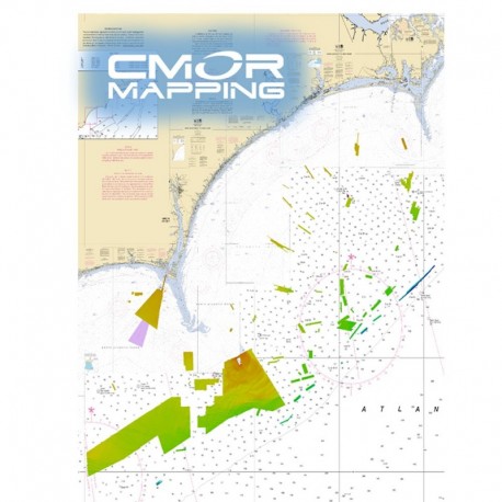
The Georgtown SC - Cape Lookout CMOR cards covers some of the best bottom fishing, king fishing and diving locations offshore of Long and Onslow Bay and centered around frying pan tower.
The majority of the depths are from 50-150ft with a few areas extending to 300ft on the ledge.
The data from frying pan tower to the west toward GeorgeTown SC is in continuous blocks. There are several wrecks and some astonishing natural features surrounding the frying pan tower.
The data from frying pan towards cape lookout consist of numerous small areas containing wrecks, ledges, and random small natural bottom features that tend to hold some of the largest concentrations of fish. These spots are traditionally missed due their size.
NOAA Charts 11520, 11536, 11531, 11539, 11543, and 11544 are included in the background.
All CMOR Cards come on Micro SD cards with a standard SD adapter included.
CMOR Compatible Devices:
Lowrance
- HDS Gen1 series
- HDS Gen2 series (both keypad and touchscreen)
- HDS Gen3 series
- HDS Carbon
- Elite HDI series
- Elite CHIRP series
- Elite Ti series
Simrad
- NSS
- NSS evo2
- NSS evo3
- NSE
- NSO
- NSO evo2
- NSO evo3
- GO XSE
- GO XSR
B & G
- Zeus
- Zeus Touch
- Zeus2
- Zeus3
- Vulcan
Mercury VesselView
- 502
- 702
- 703
- 903


